


كلية الزراعة طرابلس
المزيد ...حول كلية الزراعة طرابلس
حقائق حول كلية الزراعة طرابلس
نفتخر بما نقدمه للمجتمع والعالم
253
المنشورات العلمية
184
هيئة التدريس
522
الطلبة
0
الخريجون
أخبار كلية الزراعة طرابلس

2022-05-10
1050
0
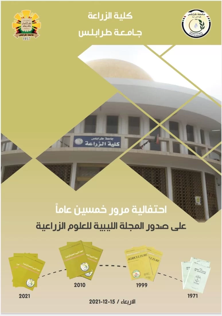
2021-12-12
2466
0

2022-05-10
1050
0

2021-12-12
2466
0
من يعمل بـكلية الزراعة طرابلس
يوجد بـكلية الزراعة طرابلس أكثر من 184 عضو هيئة تدريس


د. أسامة محمد عياد بن حامد